Une collaboration du Pôle Image avec le Larca, Laboratoire de Recherches sur les Cultures Anglophones
À lire aussi
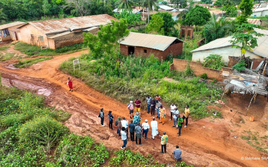
Prochain Midi de Géotéca jeudi 16 mai à 13h : “Démarche et outils en recherche qualitative” – Lamine Ousmane Cassé – Université Gaston Berger de Saint-Louis (Sénégal)
Cette thématique est à placer dans son contexte. En effet, l’espace géographique et les faits qui y sont associés sont de plus en plus complexes. Les chiffres sont certes parlants, mais la compréhension plus poussée et plus juste des phénomènes étudiés relèvent aussi...
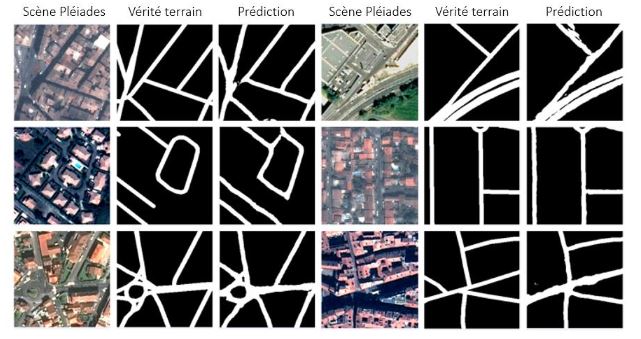
Prochain Midi : Entraîner son propre modèle IA de segmentation sémantique : de la théorie à la pratique – Rémi de Matos-Machado, chercheur R&D (Geosat) – le 20 mars 2024
Il existe aujourd’hui de nombreux outils capables de générer de la donnée par IA. Ceux-ci sont le plus souvent hébergés par des solutions propriétaires et ont une fâcheuse tendance à être rigides et peu transposables dès lors qu’on les implémente sur des...
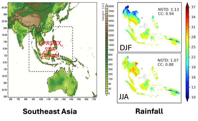
Prochain Midi de Géotéca : “Meteorological Hazards and Climate Change in Southeast Asia: Regional Modeling System, Added Value, and Potential Collaboration” – Thanh NGO-DUC, University of Science and Technology of Hanoi – 6 mars 2024 – 13h
In my presentation, I will firstly introduce about the University of Science and Technology of Hanoi (USTH, also called Vietnam-France University). USTH is a public university, established in 2009 under the Intergovernmental Agreement between Vietnam and France with...
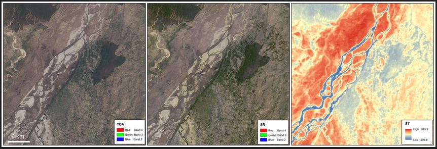
Prochain atelier Géotéca : récupération et pré-traitement des images Landsat et Sentinel-2 – Mercredi 28 février 09h30-12h30 à Géotéca
Les images satellites des programmes Landsat et Sentinel-2 sont largement utilisées pour le suivi des surfaces terrestres. Néanmoins, avant de les exploiter pour des analyses précises, il est nécessaire de les récupérer, de les remettre en réflectance de surface en...
